To load this app on your phone or tablet; at the top of your screen click "Add to the home screen". On Apple devices ensure that this is open in safari. It will load as an app to your phone or tablet. You could also save it as a web page on your PC.
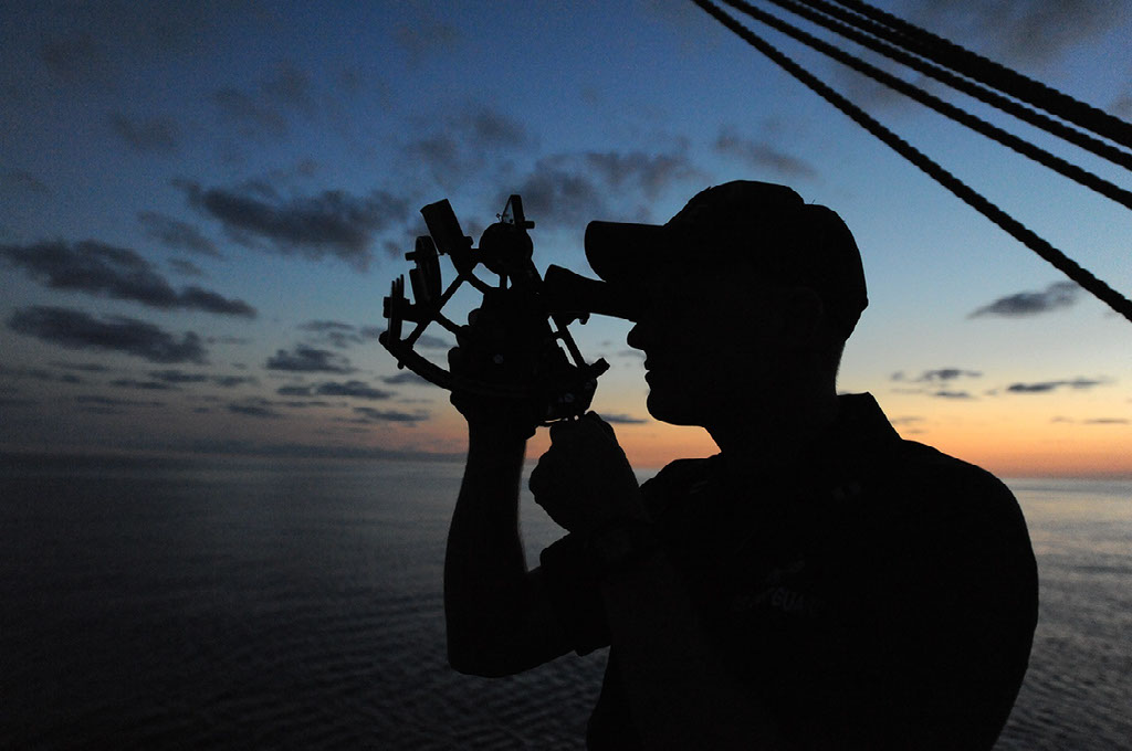
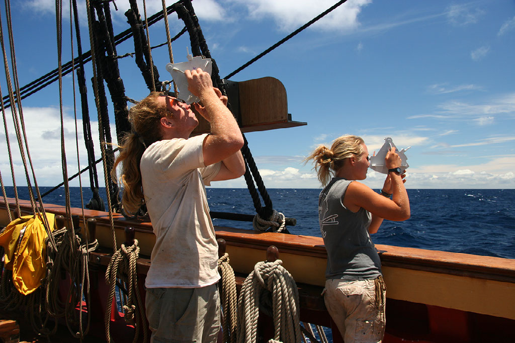
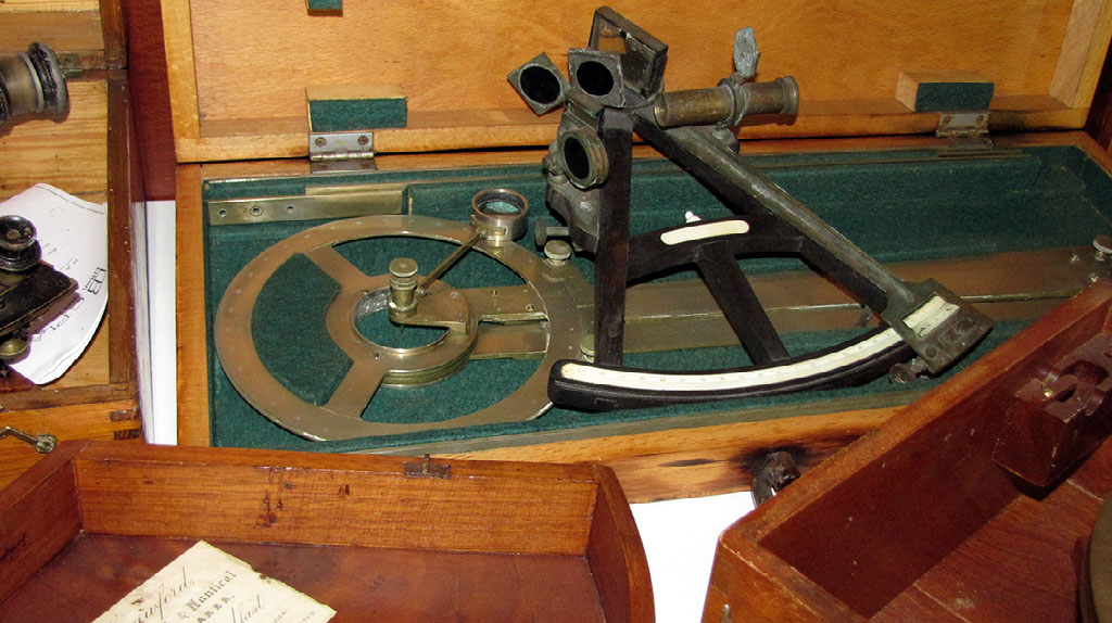
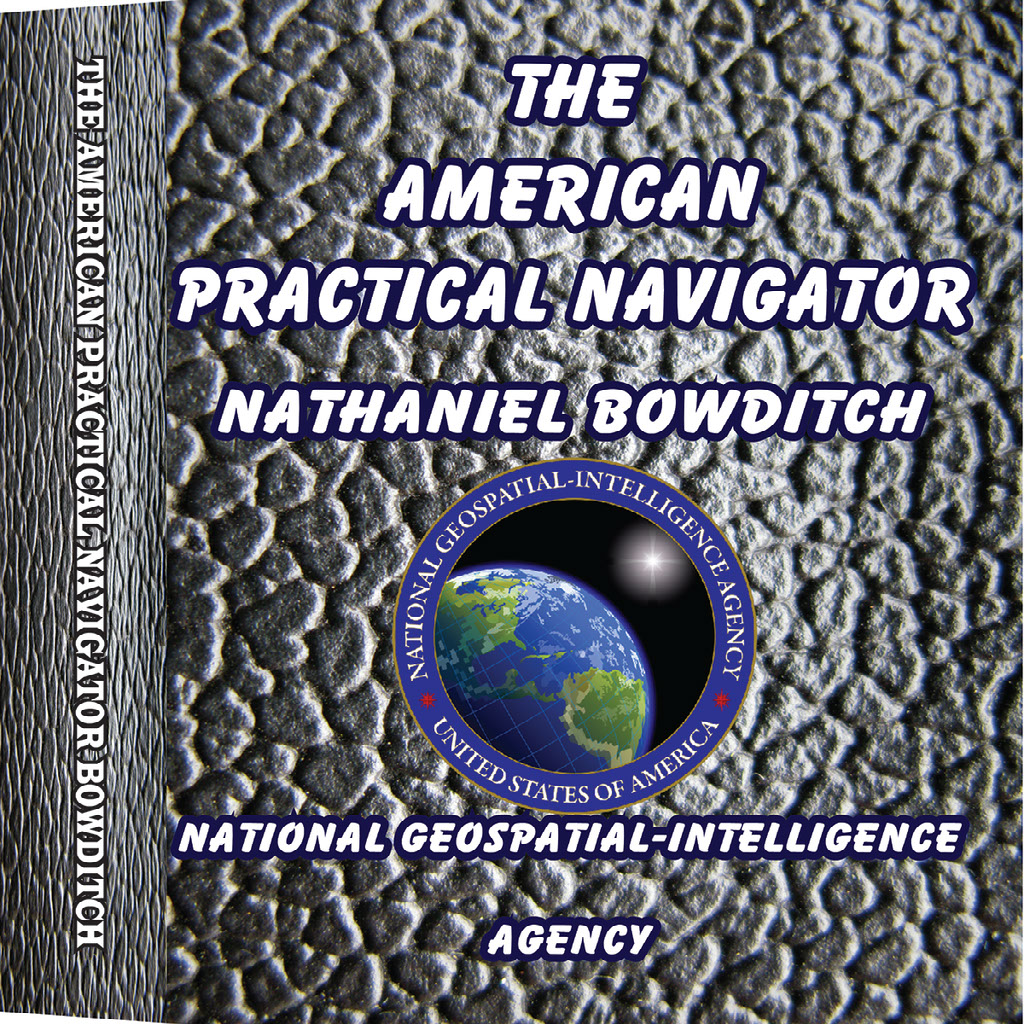
The greatest marine book ever written. A million copies sold. Now updated and reimagined into a modern app.
SIGHT REDUCTION TABLES FOR AIR NAVIGATION
SIGHT REDUCTION TABLES FOR MARINE NAVIGATION
VOLUME 1
Sight Reduction Tables for Marine Navigation
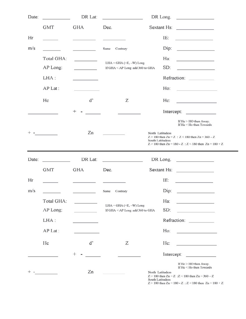
The Sight Reduction Tables for Marine Navigation (Pub 229) is published in six Volumes, each of which contains two eight-degree zones of latitude with a one-degree overlap between Volumes. They are designed to facilitate the practice of celestial navigation at sea.
The tables are primarily used with the Intercept method of sight reduction by entering arguments of latitude, declination, and Local Hour Angle and obtaining tabulated altitudes and azimuth angles. The tables are prepared and published by NGA on an as needed basis.
VOLUME 2
VOLUME 3 LAT 30 - 45 deg.
VOLUME 4 LAT 45 - 60 DEG.
VOLUME 5 LAT 60 - 75 deg.
VOLUME 6 LAT 75 - 90 deg
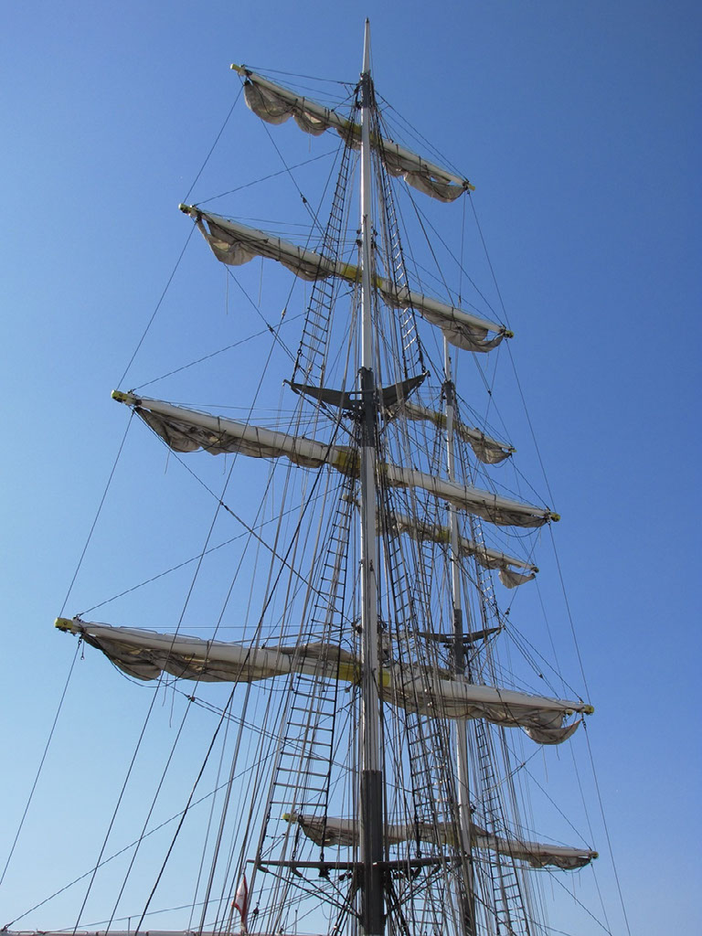
Credits:
Created with images by skeeze - "sextant sunset silhouette" • Magic Madzik - "290/366: Sextants" • Engel62 - "sextant shipping ship" • stebulus - "DSC02900" • pixelcreatures - "compass map navigation" • PublicDomainPictures - "mast sky boat" • dbking - "Ten Pound Island Lighthouse, Gloucester, MA" • mechanicalcurator - "Image taken from page 54 of 'New Tables to facilitate the Practice of Great Circle Sailing; together with an application of the theory of the great circle on the globe to the sailing, and an appendix, containing some mathematical demonstrations, etc'" • PublicDomainPictures - "beach blue caribbean"